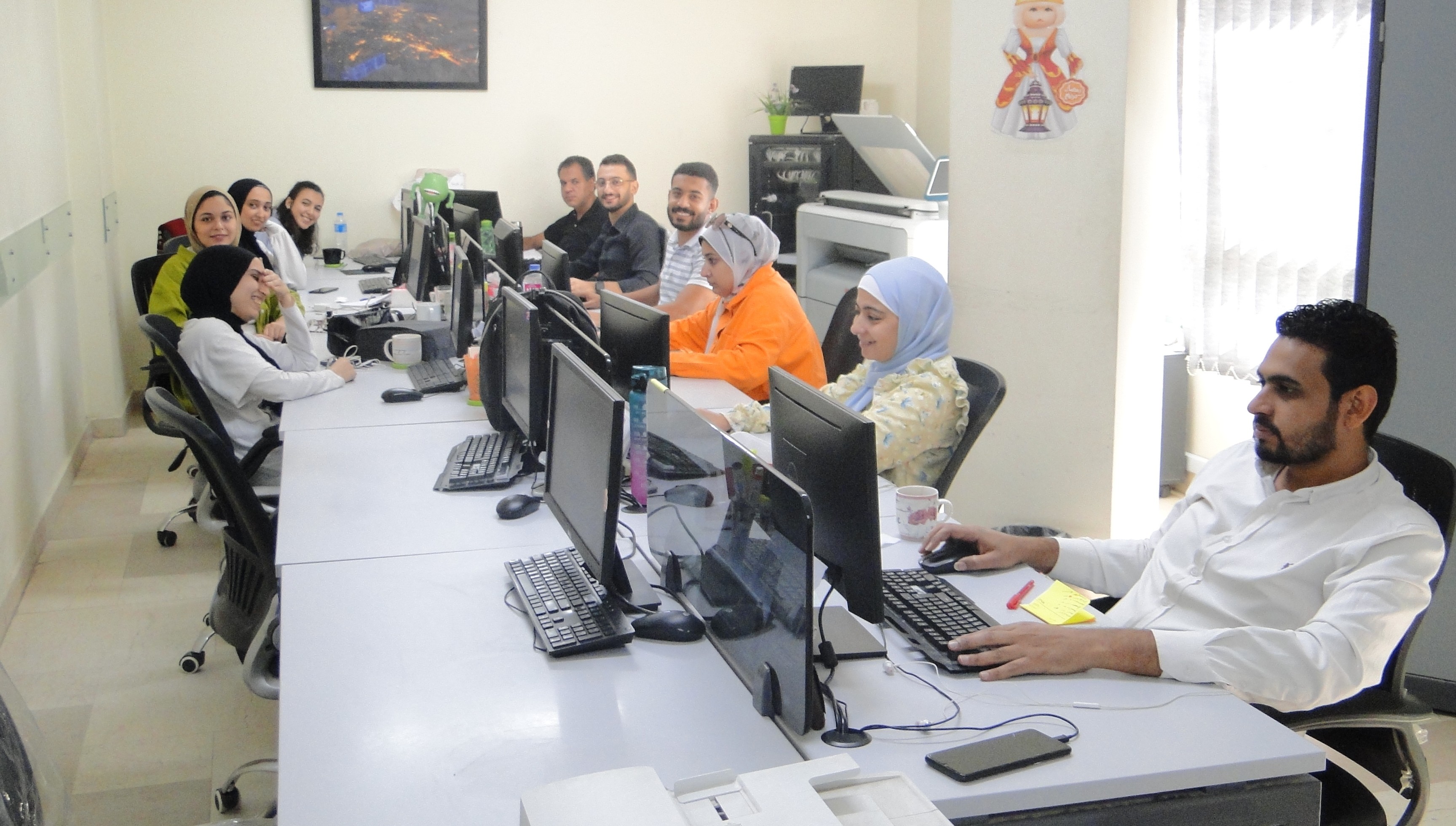
About Geosol
GeoSol started by the end of 2017 as a Geomarketing and mapping Solutions Provider with the vision of revolutionizing location analytics. Its main objective was to provide leading GIS, GPS, and Geomarketing services; we help businesses with a strategy to grow their brand using great competent, and in-depth research our team is rooted in the values of excellence, team spirit, and ambition t...
12
Years Working Experience
Learn About Our Success
Complete Project
Expert Workers
Happy Clients
Upcomming Project
What services do we provide?
We pay close attention to tailoring our services to fit the needs of each client. In order to keep up with global improvements, we will continue to bring the best technologies and services to our current and prospective clients
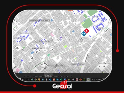
Maps and Geodata Products

Geo-Marketing-services
We help businesses with a strategy to grow their brand using great competent and in-depth research and Analysis of Market Penetration, Customer Segmentation, Inter...
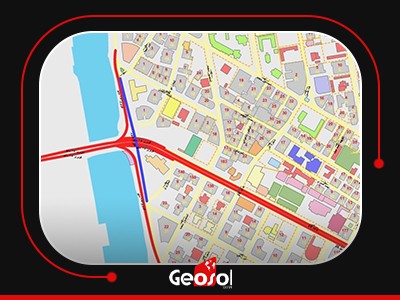
Street Network
More Than 1.5 Million Street Segments With Traffic Flow Direction From Node To Node and the Total Length around 120,000 Kms. covering all Egyptian roads and street...
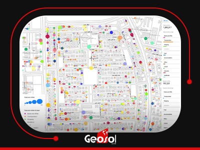
Point Of Interest
Key Data Attributes:Point of interest data is structured to provide relevant information about speci...
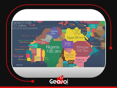
Demographic Info
Full Updated Demographic Information in Three levels ) Governorate – District – Section (i.e. Village, Nagaa, Shiakhaa, And Kafr)).
Building Foot-Print
More than 4 million buildings covering all Egyptian cities on a drawing scale of 1:2500, with details including the building number, building height in meters, and...
Field Survey Works
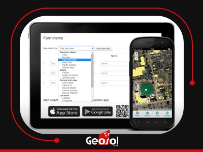
Questionnaire
Face to Face Interviews Interviewing is a quantitative data collection method, in which consumers are interviewed using a structured quest...
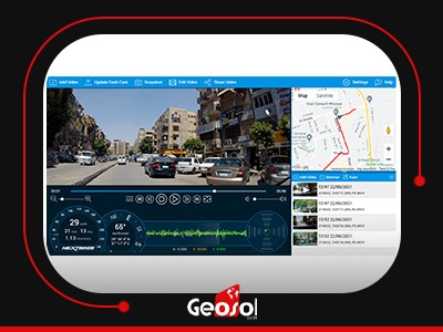
Mobile Mapping
Mobile Mapping The process of collecting geospatial data by using a mobile vehicle equipped with a c...
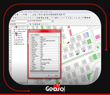
Building In-house GIS Services
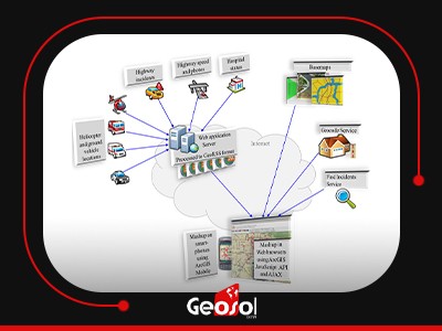
Building In-house GIS Services
Including Design, Implementation, integration, and Customization of Geocoding/ Reverse Geocoding se...
Our Partners
Success Partners